Measurement, Analysis & The Technical Aspects of Boundary Disputes - A Roundup for Surveyors

Available to view on demand
All prices exclude VAT
Added to Basket
Webinar
Measurement, Analysis & The Technical Aspects of Boundary Disputes - A Roundup for Surveyors
Introduction
This webinar will take you through the measurement and computerisation of the boundary survey.
The understating of basic land surveying principles will minimise, and probably eliminate, site measurement errors and discrepancies.
If you conduct site measurement surveys, then this webinar is for you.
What You Will Learn
This webinar will cover the following:
- How do I fix the position of a feature that, for a variety of reasons, I cannot gain access to?
- To what accuracy can I guarantee my survey plot to?
- The RICS accuracy table
- I have completed my survey plot and I have the deed plans on my desk. How do I carry out the boundary analysis?
- The fundamental skills of land and topographic surveying
- An explanation of triangulation, trilateration and offset measurement
- A description and demonstration of current electronic surveying equipment, including a Leica Total-Station and a Leica Disto. The application of these instruments to the measurement task
- An introduction to GNSS (Global Navigation Satellite Surveys)
- Satellite reception and hindrances
- The use of GNSS and co-ordinates for Land Registry plans and in complying with Court orders
- The importance of neat sketches that may be needed in Court at a later date
- Measuring through hedges
- The significance of trunklines
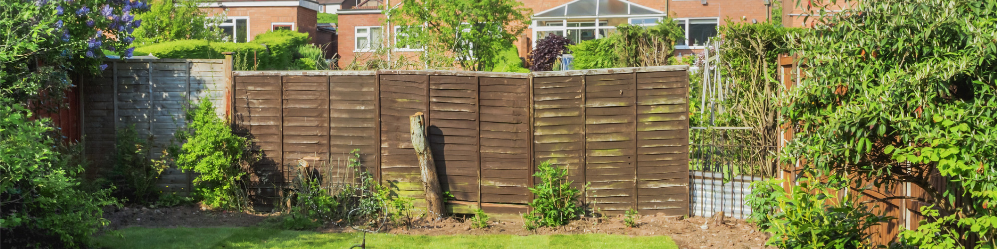
- Which way do fences face?
- Party trees
- Measuring the location of party-walls in terraced houses
- Automatic data-logging. The necessary back-ups required
- Downloading to a computer programme (using AutoCAD as the medium)
- Computer editing of the survey
- Forming the computer plot
- Analysing the probable boundary using deeds, HMLR documents and the computer plot
- The correct scale to use
- When you should instruct a land surveyor (under supervision) rather than measuring the property yourself
- How to make clear Court-friendly site sketches
- How to take helpful Court-friendly photographs of the site
- How to deal with measurement discrepancies
- How to edit a computer plot
- How to analyse the deed plans
- Post-survey site checks
This webinar was recorded on 12th January 2022